

This guide is new and hasn’t yet been checked on the hill by an editor. Use it alongside a map, the forecast and your own judgement.
At 1,345 m, Ben Nevis is the highest point in Britain, and it gets more walkers than any other Scottish hill. Most of them use one path. That path is a fine walk, but it isn't the only way up, and it isn't always the best one.
This guide compares the two walking routes we've mapped, says who each one suits, and covers the part of the day that matters most: getting off the summit plateau safely in cloud.
The two routes at a glance
| Measure | Ben Nevis by the Mountain Track | Ben Nevis via the Carn Mor Dearg Arête |
|---|---|---|
| Distance | 16.3 km, Out and back | 16.7 km, One way |
| Ascent | 1,330 m | 1,500 m |
| Walking time | 5½–7½ hr | 6–8 hr |
| Grade | 3 · Strenuous hill walk | 4 · Hard or exposed |
| Bog rating | Wet patches | Wet patches |
| Scrambling | None | About 9% of the route |
| Steepest 500 m | 19.7° | 28.1° |
| Starts at | Ben Nevis Visitor Centre, Glen Nevis | North Face car park, Torlundy |
| Finishes at | Back at the start | Ben Nevis Visitor Centre, Glen Nevis |
| Walkers rate it | No reviews yet | No reviews yet |
Live figures from our route data. Times are for walking only: add your stops.
Which one should you choose?
- First time on a big hill, or not keen on heights? Take the Mountain Track. It's a built path all the way, and you won't need your hands. It's long and steep, though, so don't mistake "easy to follow" for "easy".
- Comfortable on narrow, rocky ridges and want the best day out? Take the Carn Mor Dearg Arête. You get the north face of the Ben in full view, a second Munro, and a sharp, airy ridge to the top. It's longer and needs a lift back or a longer walk out.
- Bad forecast, or snow on the tops? Neither is a fair-weather stroll, but the arête is where the extra risk is. In winter conditions it's a mountaineering route, not a walk.
- Want to avoid the crowds? The arête. On a summer Saturday the Mountain Track can feel like a queue.
The Mountain Track
Ben Nevis by the Mountain Track
You'll hear it called the Pony Track or the Tourist Path. It was built in the 1880s to supply the old summit weather observatory, and it has been rebuilt and repaired many times since. The path is wide, stony and easy to follow in clear weather.
The walk has three parts. First comes a steady climb across the steep side of Glen Nevis, with stone steps in places. Next is the broad saddle by the Halfway Lochan, a good place for a break and a check on the weather ahead. Last are the zigzags, a long, unrelenting grind up the stony west flank. They are where most people slow right down. Above them the path levels onto the summit plateau and follows a line of big cairns to the trig point and the ruins of the observatory.
There are three common starting points. You can start from the Visitor Centre car park, as our route does, from Achintee by the Ben Nevis Inn, or from the youth hostel further up the glen. All three paths join within the first couple of kilometres.
Go early. Starting at 7 or 8 am gets you ahead of the crowds and gives you slack if the day takes longer than planned. Coming down is hard on the knees, and many people find the descent slower than they expected.
The Carn Mor Dearg Arête
Ben Nevis via the Carn Mor Dearg Arête
This is the route many hillwalkers rate as the best walk in the area. It starts from the North Face car park at Torlundy, north-east of Fort William. A forest path leads into the glen of the Allt a' Mhuilinn, right under the huge cliffs of the north face, where the climbers go. In clear weather it's one of the great views in Britain.
From the glen you climb steeply onto the ridge and over Carn Mor Dearg (1,220 m), a Munro in its own right. Then the arête curves round the head of Coire Leis to the Ben. It's a narrow crest of big blocks with steep drops on both sides. For most of it you can walk, but you'll use your hands in places, and you need a steady head. A steep boulder slope then leads up to the summit.
There are two ways to finish. Our mapped route goes down the Mountain Track to Glen Nevis, so you'll need a second car or a taxi back to Torlundy. Without one, you can leave the Mountain Track at the Halfway Lochan and take the path that contours round the north side of the hill back into the Allt a' Mhuilinn. It's longer, but it brings you back to your car.
In winter, with snow and ice on it, the arête is a graded winter climb, not a walk. Only go up there then with an ice axe, crampons and the skills to use them. Don't try to leave the arête by dropping into Coire Leis. In winter that slope is prone to avalanches.
Coming off the summit in cloud
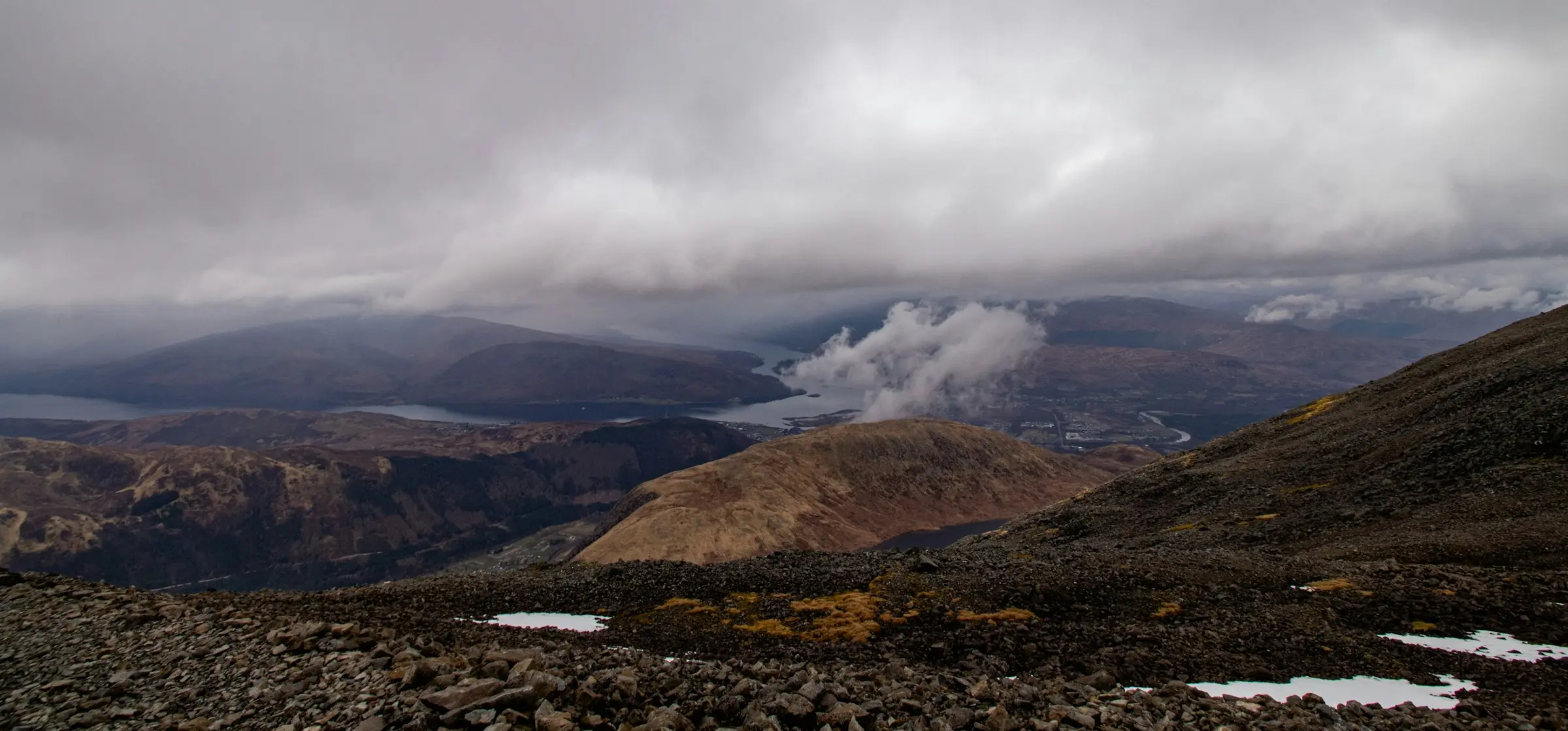
Most accidents on the Ben don't happen on the way up. They happen in cloud on the way down. The summit plateau is broad, flat and featureless, and its north side ends abruptly at cliffs over 600 m high. Two deep gullies bite into the plateau close to the route:
- Gardyloo Gully cuts into the plateau just north of the summit. In snow, cornices build out over the edge here and can look like solid ground.
- Five Finger Gully lies to the south-west, below the plateau. People who head too far south on the way down, trying to aim straight for Glen Nevis, get drawn into it.
If you can't see the cairns, don't guess. The widely published advice for reaching the top of the zigzags from the summit trig point is to walk 150 m on a grid bearing of 231°, then follow a grid bearing of 281°. These are grid bearings, so adjust them for magnetic variation, and practise on a clear day before you rely on them. This advice is waiting for a check against Lochaber Mountain Rescue Team's current guidance. Until then, read their advice before you go.
Phones are useful, but batteries die fast in the cold, so carry a paper map and compass as well and know how to use them. The maps you need are OS Explorer 392 or OS Landranger 41.
When to go
Snow often lingers on the summit plateau well into early summer, and the summit can be below freezing in any month. Most days the top is in cloud. A clear day is a bonus, not something to count on.
- From roughly June to September, both routes are usually free of snow. Days are long, and the paths are busiest.
- From October to May, expect snow and ice on the upper mountain, and much shorter days. Treat it as a winter climb, with the gear and skills that go with it.
Before you go, check the Mountain Weather Information Service forecast for the West Highlands and the Met Office mountain forecast. In winter, also check the Scottish Avalanche Information Service report for Lochaber.
Latest reports from walkers
Getting there and what to take
Getting there. Fort William is on the West Highland Line from Glasgow, and the Caledonian Sleeper runs from London. The Visitor Centre is about 2 km walk from the town centre, along Glen Nevis. Both car parks charge, so check the signs when you arrive. The route pages show the parking details we have.
What to take.
- Full waterproofs.
- A warm hat and gloves, even in July.
- An extra warm layer.
- More food and water than you think you'll need.
- A head torch.
- A map and compass.
The top is typically around 9°C colder than the glen before you count the wind.
Leave it as you found it. The summit area is looked after by the John Muir Trust. Take all your litter home, including banana skins and orange peel. Nothing rots quickly at 1,300 m.
Spotted something out of date? Add a condition report on the route page, or tell us. We check guides regularly and date every update.